Wallasea Island
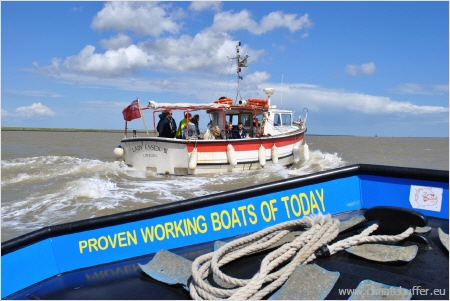
Study Visit by Boats
(Photo: Ralf Schulte, NABU)
General Description
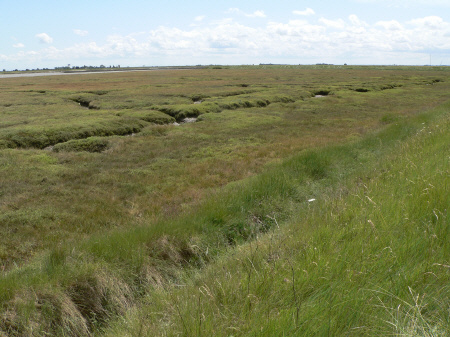
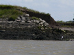
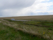
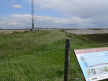
Wallasea Island is a 700 ha site situated north-east of Southend-on-Sea in Essex, bounded by the Rivers Crouch and Roach and managed by the RSPB. The island is currently mainly arable farmland, with one limited area of re-created saltmarsh where the surrounding sea wall has been set back. The Wallasea Island Wild Coast Project intends to restore saltmarsh and mudflats over much of the island. It will be a special landscape for wildlife and people.
Wallasea Island like Brownsea Island, faces real and pressing climate change-related challenges. Four hundred years ago there were 30,000 hectares of intertidal saltmarsh around the Essex coast. Now there are just 2,500 hectares. In England, saltmarshes and mudflats are continuing to decline at a rate of 100 hectares a year. This rate of loss will accelerate with climate change as rising sea levels and more storminess steadily erode the precious transition zone between land and sea. The Wild Coast project here aims to create new intertidal habitats and to demonstrate a practical example of adaptation to climate change.
The Wallasea Wetlands Recreation Project
The Wallasea Island Wild Coast Project
Offsetting erosion on the Essex coast
On Wallasea coastal erosion affects the whole island, in common with most of the coast of this part of England. It is currently defended by a sea wall, and is below sea level. Creation of new saltmarsh here is intended to mitigate loss of marshland due to erosion widely around this coastline.
There is little infrastructure to lose, apart from existing sea walls which are likely to be breached. Farming activities on Wallasea will effectively cease, but this is part of the plan and the farmer will be compensated.
Proposed actions
There has already been change of agricultural land to saltmarsh by setting back a sea wall on a small area. This is due to be greatly expanded over much of the island and is the reason behind acquisition by the RSPB. Some of the goals are:
- creating a variety of new intertidal habitats to offset losses in the surrounding estuaries due to sea level rise;
- creating flood land which can absorb wave energy and store water in times of flood
- creating accessible coastal land for public recreation and enjoying nature
- management and further development of a Defra project to construct new intertidal habitat in compensation for loss of two important bird wintering habitats due to ports expansion in Suffolk and Kent.
The work is being done on a cell-by-cell basis, with large quantities of imported spoil (7.5m tonnes of overburden from the Crosslink route through London). The site is being intricately designed to provide a wide range of levels and habitats. It will then develop naturally and is anticipated to last for approx 100 years, before being lost to erosion.
Monitoring on a whole-estuary basis
Bird counts are being undertaken on a whole-estuary basis, to ensure that the changes do indeed create new habitat for birds, rather than drawing birds away from existing sites.
Further informations and downloads
- Download a presentation on Wallasea Island Wild Coast Project [16.553 KB] prepared for the study visit by the Project Manager.
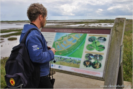
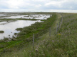
Photo Gallery
 |
||||||
 |
 |
 |
 |
|||
Credits: Katherine Hearn, National Trust |
The project started in 2010 and was finished in 2012.